


Cross River Stakeholders Rally Around GIS Project, Push for Inclusivity, Innovation
By Ebi COLLINS
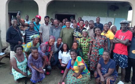
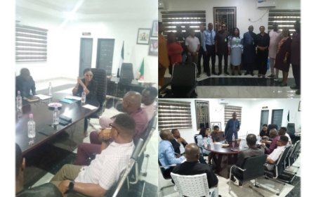
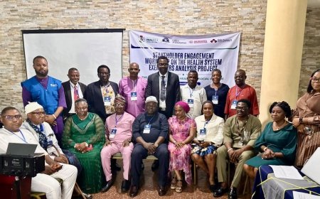
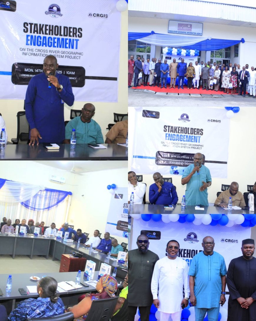
The Cross River State Geographic Information Agency (CR-GIA) has taken a decisive step toward modernizing governance and land administration with the launch of a high-level stakeholders’ engagement on its Geographic Information System (GIS) Project. The forum, held in Calabar, brought together members of the State Executive Council, technocrats, academics, heads of agencies, statisticians led by the State Statistician-General, and private sector participants to deliberate on the strategic implementation of the CRGIS Project.
Speaking at the opening ceremony, the Director General of CR-GIA, Mr. William Archibong, emphasized that the agency has moved beyond traditional land management into the era of digital governance. He credited Governor Bassey Edet Otu for providing the political will and institutional support that have led to the adoption of advanced technical software, laying the foundation for the GIS Project.
Mr. Archibong underscored the transformative potential of GIS, noting its growing global relevance in governance and economic planning. “For Cross River State to compete economically, every Ministry, Department, and Agency must integrate GIS into its operations,” he said. “It enables efficient documentation, data-driven planning, and improved tracking of development initiatives.”
He called on all stakeholders—public and private—to contribute data to the system, assuring that the platform will be inclusive, accessible, and user-friendly. “The success of this project relies on your participation. GIS will enable us to make informed decisions that benefit every Cross Riverian,” he added.
Also speaking, the Vice Chairman of the State Planning Commission, Pastor Bong Duke, highlighted the longstanding challenges in land management and documentation, such as inefficient manual processes and inadequate records, which the GIS Project aims to eliminate. “This initiative is not just about maps and data; it’s about rethinking how we manage land and development in the State,” he said. “Accurate, transparent, and accessible land records will enhance governance, security, and economic growth.”
He encouraged active collaboration, stressing that the project can only succeed through collective input from stakeholders. “We must build this system together, because its success will open doors for investment, transparency, and better service delivery,” he said.
Project Coordinator, Mr. Jesam Iwara, provided a comprehensive multimedia presentation on the scope of the CRGIS Project. He explained that the system integrates people, data, software, and hardware into a single digital platform designed to support real-time analysis and decision-making.
“This is more than a mapping tool,” Mr. Iwara noted. “It is a dynamic, online decision-support system that can guide policy and investment across sectors such as education, agriculture, health, and environmental planning. It will allow us to shift from reactive to proactive governance.”
He cited specific use cases, such as using GIS to forecast and mitigate flooding, monitor disease outbreaks, and plan resource distribution based on historical data and geospatial analysis.
Also contributing to the discussion, Surveyor Solomon Nsor detailed the technical support being provided by NUGI Technologies, the technology partner for the CRGIS Project. According to him, the company has developed customized GIS applications, a digital land processing framework, an integrated payment system for MDAs, and has conducted staff training to enhance operational efficiency. Nsor added that geospatial data design tools have been tailored to the state’s development needs, providing citizens and planners with critical insights to guide sustainable development.
Participants at the forum responded positively, expressing strong enthusiasm for the CRGIS Project and its potential to modernize governance across sectors. Stakeholders from various MDAs voiced readiness to support the system through data sharing and institutional collaboration.